Winespring Loop #630
Categories: Horseback Riding
Highlights
- One of two horse trail in the area
- Trail takes riders over Goat Bald at elevation 4800 ft
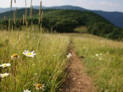
- Views from Goat Bald are spectacular
- See portions of the Great Smoky Mountains and the Chilhowee Mountains to the West and into Tennessee
- Portions of the trail are located on Forest Service Roads
- Pit toilets located at the camp area
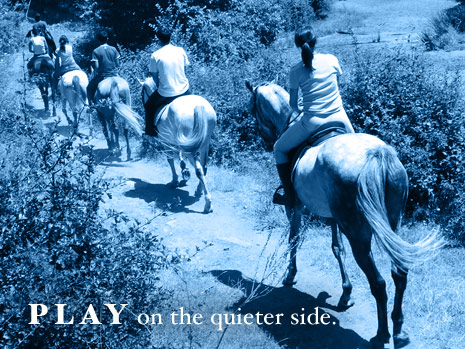
- Forest trail riding
- Horse Trails are Orange Blazed
The Local Scoop
The Winespring Horse Trail is located in the shadows of Wayah Bald and Winespring Bald in the Nantahala National Forest. This trail offers riders the seclusion that comes with riding in our mountains. Along this trail you will climb to the summit of Goat Bald, a large wildlife field located at 4800 ft. elevation offering fantastic views to the West of the Great Smoky Mountains and the Chilhowee Mountains and into Tennessee. You should be aware that portions of this trail are located along Forest Service Roads and you could encounter other motor vehicles. Whether you'll be here for a day or a weekend we suggest using the camp area located here for your convenience. If you are into guns and target shooting, we recommend visiting the Dirty John Shooting Range also located off of F.R. 711. For the range you'll need to take F.R. 711B which is located 1.2 miles from Wayah Road. Continue another 0.4 mile to the parking area and shooting range. This area would make for a nice weekend trip and we suggest doing just that, considering it's remote location. Don't forget to ride the Rocky Bald Loop #631. Both Loops are 7.5 miles in length and could take up to 6 hours to ride.
The Local Directions
From intersection of U.S. Hwy-64 W and U.S. Hwy-23/441 North in Franklin take Hwy-64 W towards Murphy, NC for 3.8 miles to "Old Murphy Rd.(SR 1448) on your Right (Wayah Bald sign). After you take the exit, continue down the hill for just under 0.2 miles to Wayah Road (SR 1310) on your Left ("Loafers Glory" gas station will be at the intersection of Old Murphy Rd. and Wayah Rd, so you'll know where to turn). Continue on Wayah Rd. for another 10.7 miles to FR #711 and a sign for "Forest Service 711, Shooting Range, and Horse Camp". Take a Right here and continue on FR #711 for 4.5 miles to the Horse Camp and trailheads.
- Distance From
- FROM (Town): Franklin, 18.5 miles RIDE: 7.5 miles
- Coordinates
- 35.176694, -83.613821
- Address
Franklin, NC 28734- County
- Macon County
- City
- Franklin


